Nautical Publications
Catalogue of Nautical Charts & Nautical Publications
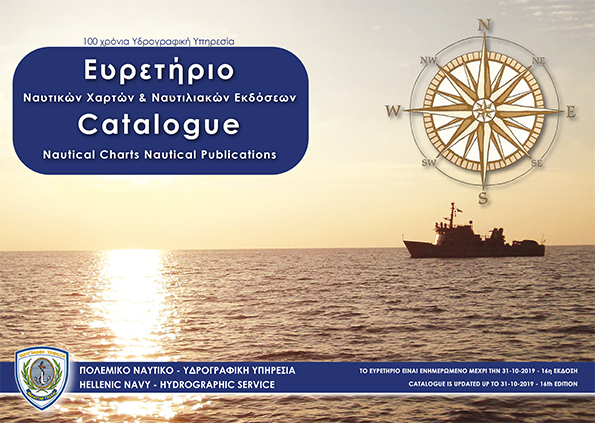
The aim of the catalogue is to provide information to the mariners and to all those who navigate the Greek seas about the Nautical charts and Publications of the Hellenic Navy Hydrographic Service
List of Lights of Hellenic coasts
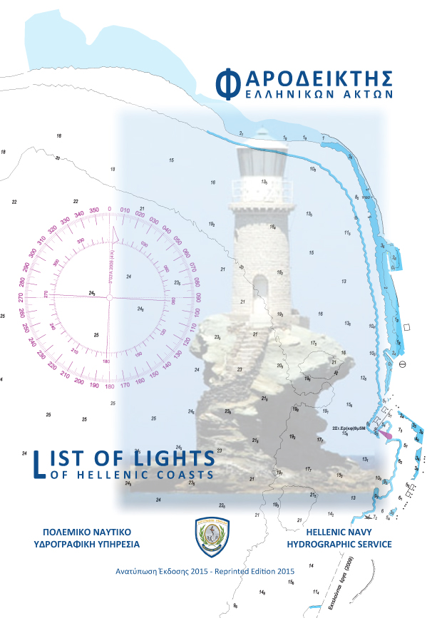
The List of Lights is published in cooperation with the Hellenic Navy Lighthouse Authority and includes information lighthouses, lights and floating lights of the Greek coasts.
The revised edition of the List of Lights is based on regulations of the International Hydrographic Organization and the International Association of Lighthouse Authority.
Notices to Mariners (monthly edition)
The HNHS Notices to Mariners (NtM) monthly edition includes all the newest information regarding the:
New nautical charts and nautical publications.
Correction of nautical charts
Correction of List of Lights
Correction of Sailing Directions (Ploigos)
Correction of the rest of HNHS nautical publications
Permanent Notices to Mariners (annual edition)
Notices to Mariners give important information on a permanent basis, concerning the Hellenic sea area and the most important shipping lines of the Mediterranean, and, due to their importance, are repeated annually.
Copies of these Notices to Mariners, are provided to free of charge, from the HNHS selling points.
Sailing Directions of Hellenic coasts (Greek Edition)
Sailing Directions (Ploigos) is an indispensable supplement of nautical charts. Ploigos, gives detailed descriptions of coasts, dangers and ports. In addition, it gives detailed instructions about sailing into bays, ports, straits and channels and all the information needed for a safe trip.
There are 4 volumes of Sailing Directions available in Greek language which are kept updated through relative amendments.
Sailing Directions of Hellenic coasts (English Edition)
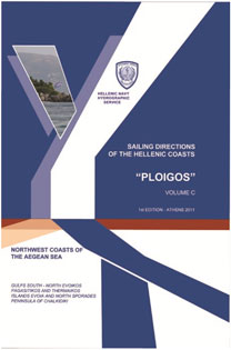
Sailing Directions (Ploigos) is an indispensable supplement of nautical charts. Ploigos, gives detailed descriptions of coasts, dangers and ports. In addition, it gives detailed instructions about sailing into bays, ports, straits and channels and all the information needed for a safe trip.
There are 3 volumes of Sailing Directions available in English language which are kept updated through relative amendments.
Sailing Directions of Hellenic coasts (amendments)
Amendments of the above mentioned Sailing Directions publications.
XEE 64 (INT1 Hellenic version)
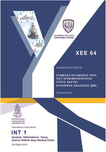
XEE 64 contains Symbols, Abbreviations and Terms used in HNHS Paper Nautical Charts. It is based upon the Chart Specifications of the International Hydrographic Organization.
Sea Level Statistics
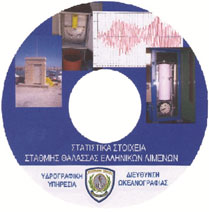
HNHS Sea Level CD includes statistical sea level data derived from a long-term recording process monitored by HNHS tide gauge network.
Available only in digital form and in Greek language
